At a glance
Scientists track El Niño in four boxes along the equatorial Pacific (see How El Niño Is Measured). The easternmost, Niño 1+2, hugs the coast of Peru and Ecuador. Its temperatures swing more widely than any other region, and for the coastal desert it matters more than the official Niño 3.4 index further west.
2017: El Niño without El Niño
In early 2017 Peru's government declared a coastal El Niño, distinct from any Pacific-wide event; NOAA noted that 2017 had begun as a La Niña year. In February, waters off Peru and Ecuador ran about 2 to 4 °C above average, and up to 5 °C in places. Parts of Peru received ten times their normal rainfall, and Morropón logged about 1,090 mm by early March against a normal of roughly 100 mm.
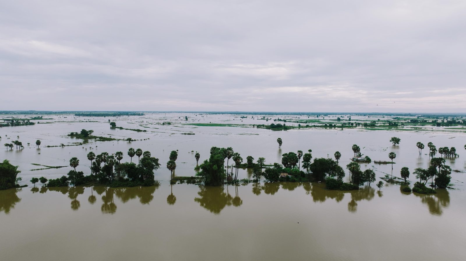
Where the Piura and La Leche rivers overflow, their water collects in a temporary lagoon in the Sechura Desert that local people call La Niña. During 2017 scientists at Peru's marine research institute IMARPE tracked it by satellite: it began to form in late January and reached its maximum extent on 5 April, 2,172 square kilometres holding about 5 cubic kilometres of water.
Why a warm sea floods a desert
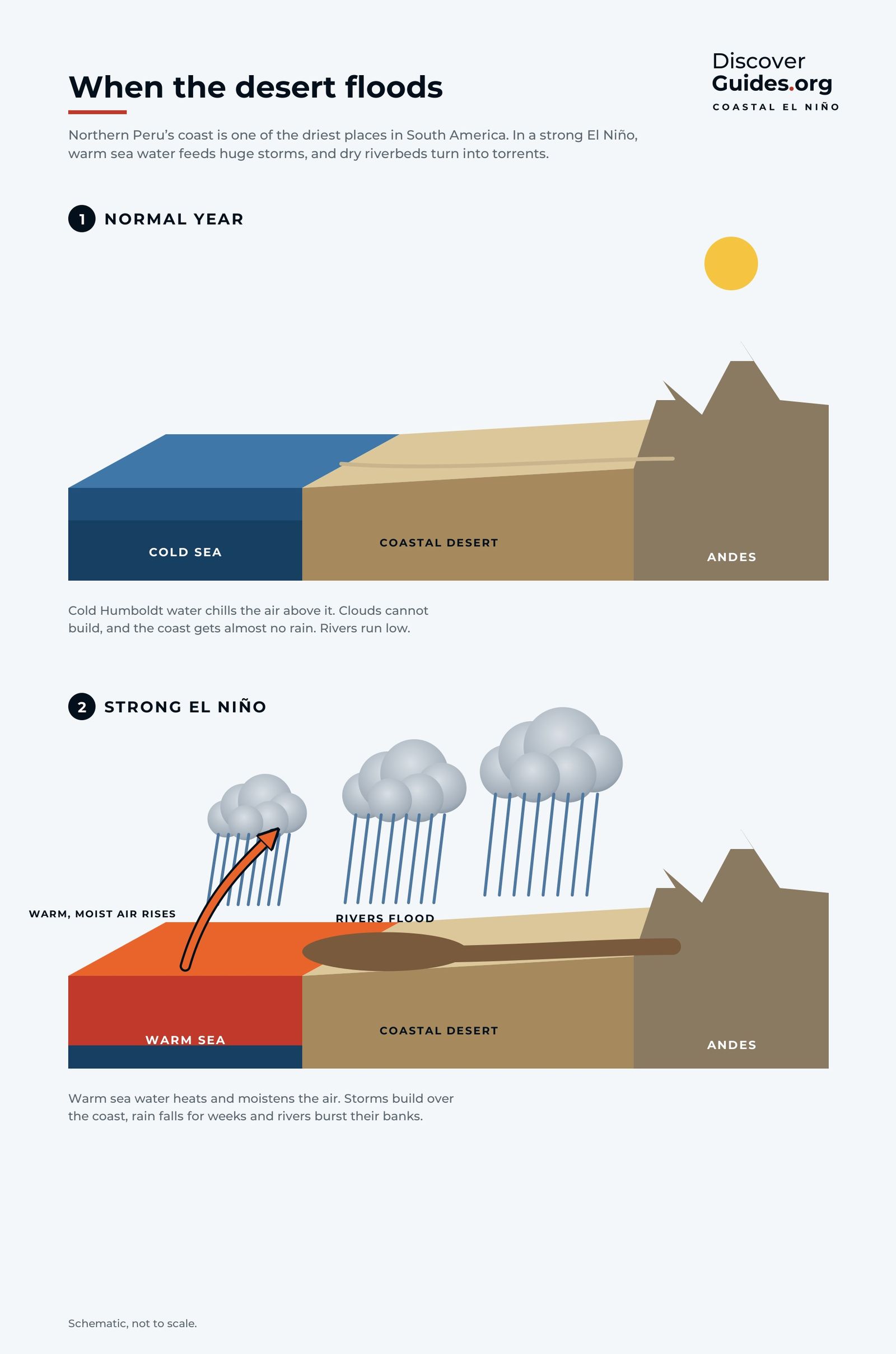
The coast of northern Peru is a desert because the cold Humboldt Current chills the air above it, keeping it too stable for rain clouds to grow. Paita averaged just 16 mm of rain a year in 1972-82. When the sea warms, that lid lifts, and moist air pushed up the slopes of the Andes produces intense thunderstorms. In the giant El Niños of 1982-83 and 1997-98, rainfall in Piura reached about 40 times normal early in the year (see How Thunderstorms Form).
The 2026 coastal alert
Peru's multi-agency El Niño committee, ENFEN, kept a coastal El Niño alert active through 2026. In its official communiqué of 14 September 2026 it judged the most likely outcome to be a coastal El Niño of extraordinary magnitude between September 2026 and January 2027, lasting into mid-autumn 2027.
- On land: air temperatures well above normal along the coast, with possible records; above-normal rain on the northern coast with moderate to strong episodes from November; rising Pacific-slope rivers in the north.
- At sea: anchovy crowding close to the coast and deeper in the north-central region; warm-water species such as yellowfin tuna and dolphinfish (perico) off central Peru.
NOAA's weekly update of 9 November 2026 put Niño 1+2 at +4.7 °C above normal on its relative measure, and sea surface anomalies exceeded +4 °C in parts of the eastern equatorial Pacific in September.

Insurance that pays before the flood
Insurance usually pays after a disaster. In northern Peru, a product designed by the research group GlobalAgRisk, with support from the UN Development Programme, pays before one. Called El Niño insurance, it is tied to a single number: the average sea surface temperature in November and December in the Niño 1 and 2 regions, as measured by NOAA. If that stays at extreme levels, the policy pays out in January, before the catastrophic rains that a strong coastal El Niño brings to Piura from February to April.
SafetyDuring a coastal El Niño, follow Peru's SENAMHI and local civil defence alerts, keep away from dry riverbeds (quebradas) when rain is forecast upstream, and never cross flood water.
More on the coastal floods and the fisheries is in El Niño in Peru: Floods and Fisheries.
To see the places in this story for yourself, our guide Discover Peru takes you there.
Questions
What is a coastal El Niño?
A warming of the sea confined to the coast of Peru and Ecuador (the Niño 1+2 region), which can bring heavy rain and floods to the coastal desert even when the wider Pacific is not in El Niño.
When was the last coastal El Niño?
Peru declared one in early 2017, when NOAA noted the year had begun as a La Niña. In 2026 Peru's ENFEN expected a coastal El Niño of extraordinary magnitude through January 2027, alongside a Pacific-wide event.
Why does a warm sea bring rain to Peru's desert?
Normally the cold Humboldt Current keeps the air too stable for rain clouds. When the sea warms, moist air rises up the Andes into intense thunderstorms.
What is El Niño insurance?
A policy in northern Peru that pays out in January if the November-December sea temperature off the coast stays extreme, giving businesses money to prepare before the February-April rains.

