At a glance
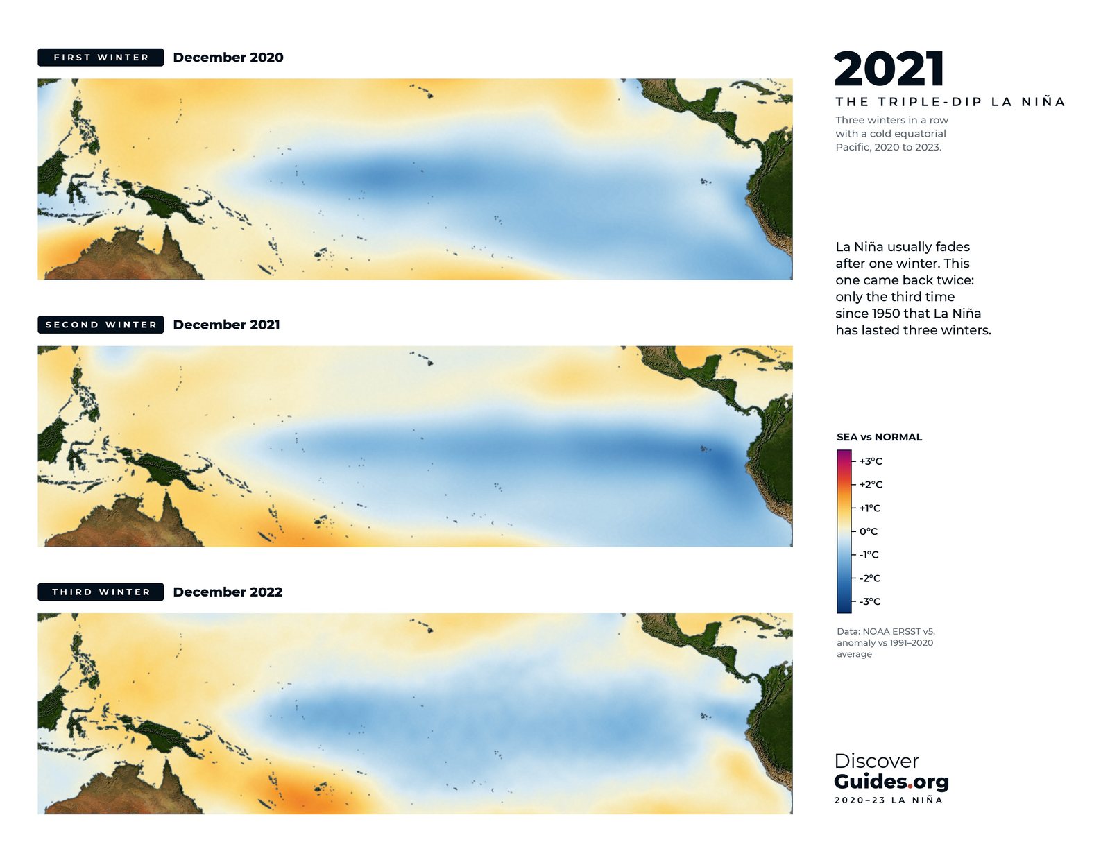
La Niña conditions settled over the equatorial Pacific in September 2020 and, with short interruptions, held on until early 2023. Earlier three-winter runs since 1950 occurred in 1954-56, 1973-76 and 1998-2001, according to NASA and the Australian Bureau of Meteorology, so the pattern is rare but not unheard of.
What made this one notable was its stubbornness rather than its strength. On NOAA's Oceanic Niño Index the three winters bottomed out at about −1.1 °C, −0.9 °C and −0.9 °C: moderate at best. NOAA scientists later wrote that it did not conform to conventional theories of how extended La Niñas develop, since unlike earlier triple dips it did not follow a strong El Niño.
Australia: a continent soaked
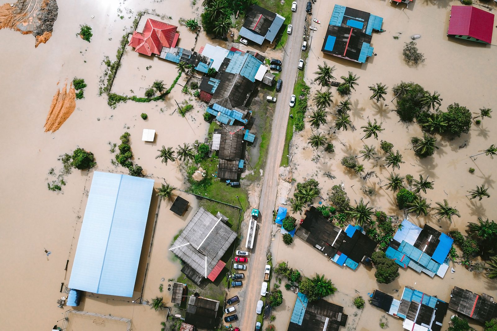
Eastern Australia took the brunt. From late February into March 2022 torrential rain caused record flooding in north-eastern New South Wales; at Lismore, on the Wilsons River, the flood peak surpassed previous observations by considerable margins.
| Measure | 2022 value | Context |
|---|---|---|
| Australia, annual rainfall | 587.8 mm | 26% above 1961-90 average; 9th wettest |
| Sydney, annual rainfall | 2,530.0 mm | Wettest year on record |
| New South Wales | 863.6 mm | 55% above average; 2nd wettest after 1950 |
| Murray-Darling Basin storages | 100% | Full at year's end |
East Africa: the rains that never came
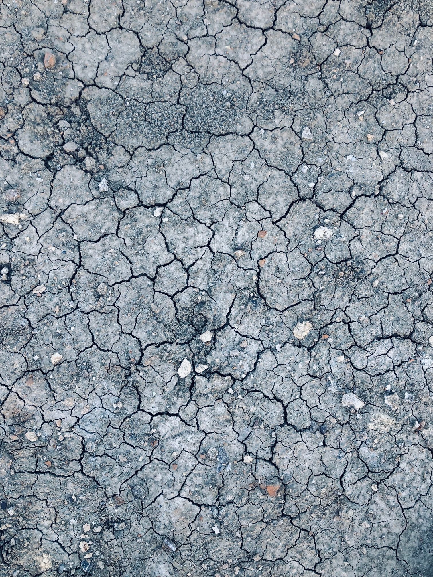
On the far side of the Indian Ocean the same Pacific pattern did the opposite. East Africa's short rains tend to fail in La Niña years, and from late 2020 they failed again and again. By May 2022 the WMO warned that four consecutive rainy seasons had failed across the Horn of Africa, not seen in at least 40 years. FEWS NET later confirmed five consecutive seasons of drought across Ethiopia, Kenya and Somalia, the longest sequence ever recorded there.
Around 3.6 million livestock died, roughly 1.5 million in Kenya and 2.1 million in Ethiopia, and in the worst-hit parts of Somalia an estimated one animal in three. By November 2022 the WMO put the number of highly food insecure people above 20 million across the three countries.
Pakistan, Argentina and the Atlantic
- Pakistan, August 2022: more than three times normal August rain, the wettest since 1961; floods affected more than 33 million people and killed nearly 1,500. Attribution scientists judged that climate change had likely made the rain heavier, with La Niña setting the stage.
- Argentina, late 2022: less than half its usual rain in the last four months of the year, the lowest in 35 years.
- Atlantic hurricanes, 2020: 30 named storms, beating the 28 of 2005; 13 hurricanes, six of them major, and 12 US landfalls.
Cold years on a hot planet
La Niña cools the global average a little, but only temporarily. The WMO noted that both 2021 and 2022, in the middle of the triple dip, were warmer than any year before 2015 (see El Niño and Global Temperature).
Two weak sequels, then a giant
After the 2023-24 El Niño the Pacific swung back. A weak La Niña emerged in December 2024 and faded by March 2025; another emerged in September 2025 and faded in early 2026, with NOAA's Final La Niña Advisory on 9 April 2026. While the surface stayed cool, heat was piling up beneath it: by April 2026 NOAA reported the equatorial subsurface temperature index had risen for five consecutive months. The cold sister had loaded the Pacific for one of the strongest El Niños on record (see The 2026-27 Super El Niño).
Questions
What is a triple-dip La Niña?
A La Niña that lasts or returns through three consecutive northern winters. The 2020-23 event was the first of the 21st century and only the third since 1950.
How strong was the 2020-23 La Niña?
Not very. Its lowest Oceanic Niño Index values were about −1.1 °C, −0.9 °C and −0.9 °C. It was unusual for its length, not its strength.
What did the triple-dip La Niña cause?
Record floods in eastern Australia, five failed rainy seasons in the Horn of Africa, very low rainfall in Argentina, and a record 30 named storms in the 2020 Atlantic season. Pakistan's 2022 floods also came during La Niña.
What came after the triple dip?
An El Niño in 2023-24, two weak La Niñas in 2024-25 and 2025-26, and then the very strong El Niño of 2026-27.


